National Center of Meteorology of United Arab Emirates is the most innovative provider of meteorological, seismological, and atmospheric research information among the GCC countries.
Smooth weather visualizations
Rain.ae is the new weather service using cutting-edge technology developed in R&D cooperation MapTiler and NCM UAE.
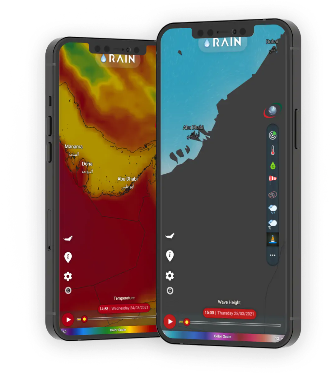
The smooth weather visualizations shows wind and wave movements where particles change course as the wind starts blowing from the other direction.
Visualisation of gridded data are enhanced with the color-coding that highlights intensity values.
Weather visualisation is optimized for running on both desktop computers and on touch devices like mobile phones or tablets.
Visualize 3D radar data on a map
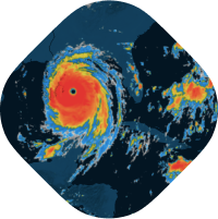
Past, current, and future clouds’ movements above the UAE are displayed in an interactive 3D interface with animated data on a timeline. The visualization shows the exact location and density of clouds.
With the customization cutting tool, it can be visualy inspected in detail beause it still contains all the information. The cloud’s inside structure can be shown by stripping other layers away for even better estimate precipitation. The cooperation between MapTiler and NCM is pushing state-of-the-art technology in the weather industry to a next-generation of in-browser animated weather data visualizations.
The cooperation between MapTiler and NCM is pushing state-of-the-art technology in the weather industry to a next-generation of in-browser animated weather data visualizations.
Weather data and aerial imagery processing
NCM trusted MapTiler to set up a full stack process of the Rain.ae together with MapTiler Engine for an automatic processing of meteorological data.
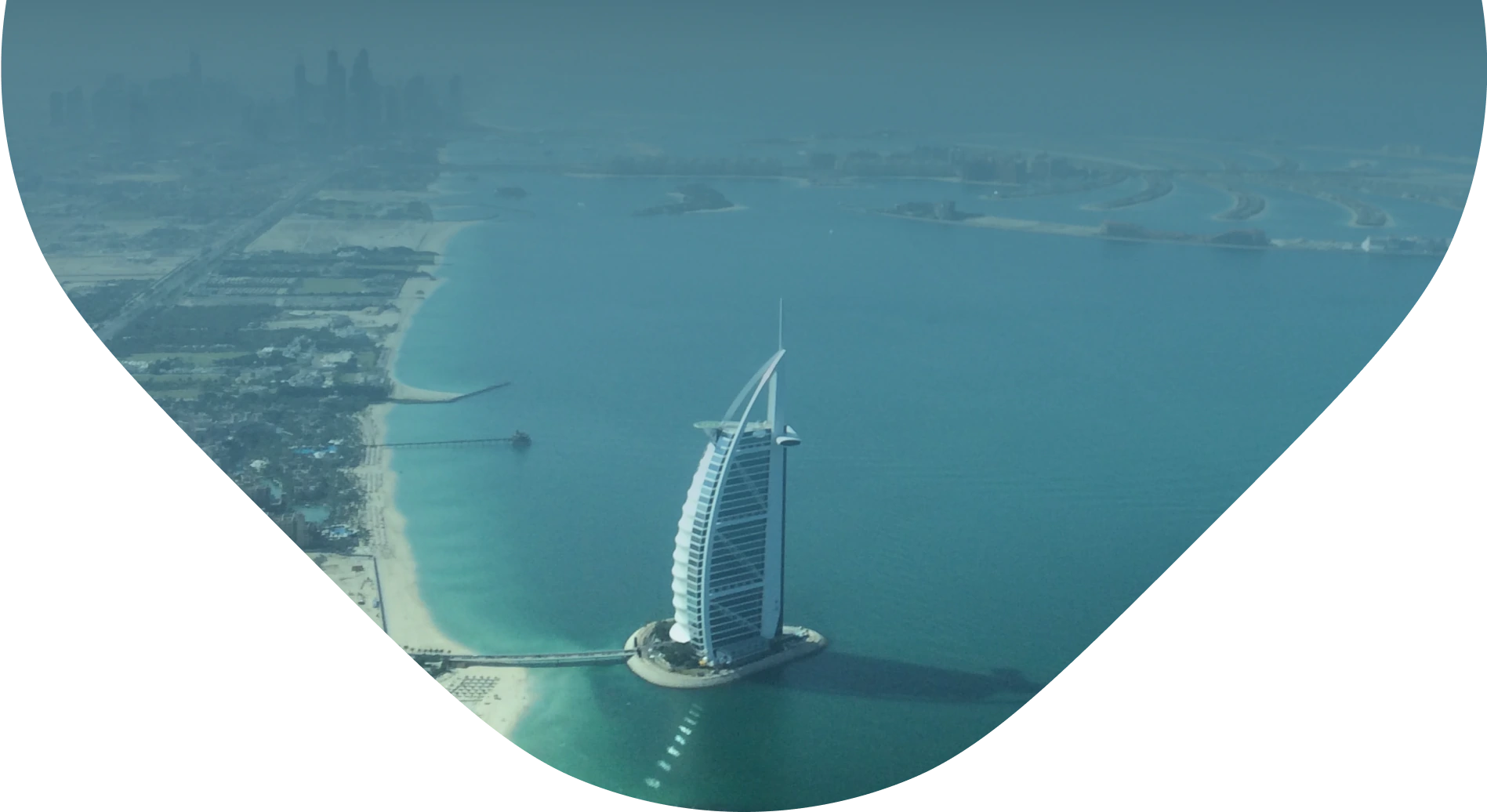
Beautiful aerial imagery for the whole area of the UAE was processed by MapTiler Cluster.
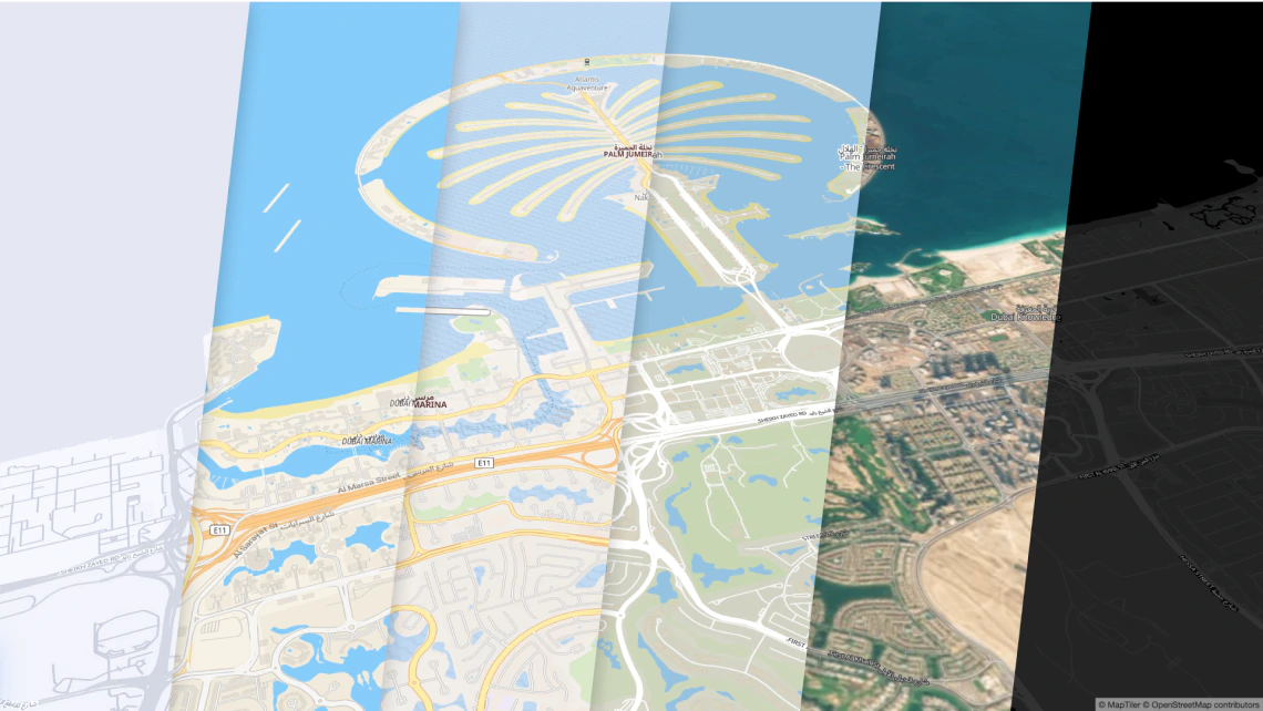
Basemaps from MapTiler
A beautiful map style was prepared for NCM’s specific needs thanks to the fully customizable map styles, with colors and fonts complementing their overall brand design and map labels in Arabic globally.
All non-weather-related map elements were removed to avoid the distraction of the users from displaying the weather phenomena, some other, like intermittent water bodies called Wadis in desert areas, were added.
Visualization for your weather website
We provide full stack
-
Base maps
-
Data processing workflow (GRIB2, NetCDF)
-
JavaScript components for visualization