Generating maps in any geographic coordinate system in GeoPackage format and direct upload to MapTiler Cloud is now possible with MapTiler Desktop 10.2.
Create a map in a custom grid and upload it as GeoPackage into MapTiler Cloud
Generating a map in OGC GeoPackage format in local coordinate systems is possible since MapTiler Desktop 8.0. The new release allows direct upload to our MapTiler Cloud in GeoPackage format with any tile grid. Read more about hosting maps in any coordinate system.
Currently, only raster tiles in GeoPackage are supported. Generating vector tiles in the GeoPackage format is planned for future release.
The new MapTiler Desktop 10.2 added another custom tile grid - Lambert 93 for France. Generating HiDPI tiles in local coordinate systems as GeoPackage was also improved in this release.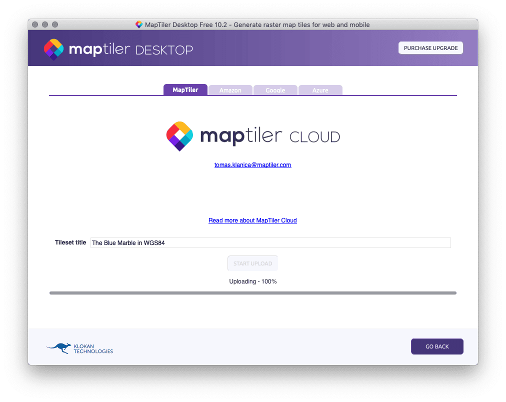
MBTiles into MapTiler Mobile app
Direct upload to our recently announced MapTiler Mobile app has been added. It uses the MapTiler Cloud for storing the files. Maps can be uploaded into the mobile app in the Web Mercator projection using the MBTiles format.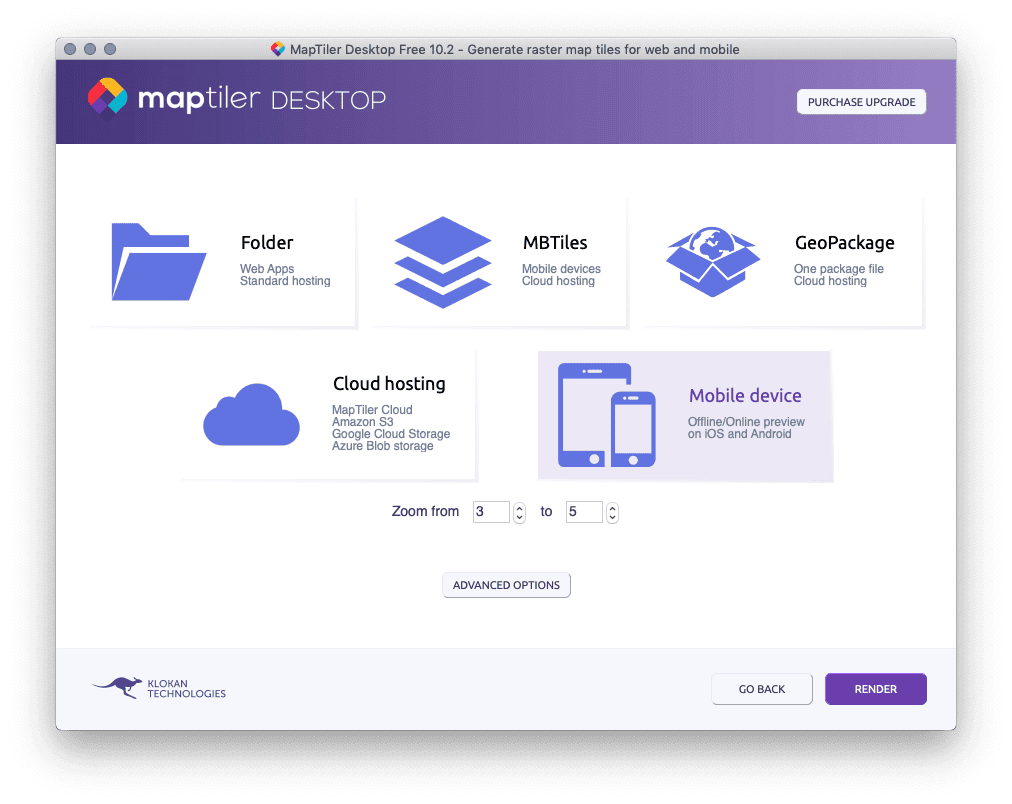
Other improvements in MapTiler Desktop 10.2
- Improved rendering of advanced raster files (ECW, JP2).
- Support for new Linux distributions - Debian 10, Fedora 30.
- An improved license verification system, mostly on Windows 10.
- Several other minor improvements and bug fixes.
Download the latest version of MapTiler Desktop.